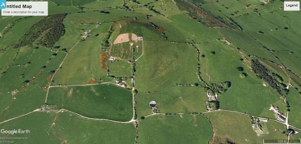
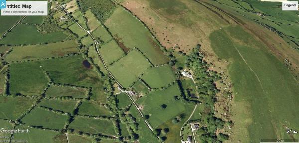
WAW038536 WALES (1950) [Unlocated]. View of unspecified Welsh landscape

© Hawlfraint cyfranwyr OpenStreetMap a thrwyddedwyd gan yr OpenStreetMap Foundation. 2024. Trwyddedir y gartograffeg fel CC BY-SA.
Delweddau cyfagos (48)
EPW000143

EPW000667

EPW005260

EPW006389
, 1921")
EPW007181

EPW015853

EPW015854

EPW015855

EPW016012

EPW016510

EPW016641

EPW017028

EPW017029

EPW017136

SAW003585

SAW003586

SAW009337

SAW009800

SAW009801

SAW009802

SAW010734

SAW014737

SAW017926

SAW017927

SAW032504

SPW020275

SPW020280

SPW020281

SPW020284

SPW020632

SPW020633

SPW027083

SPW049776

SPW049777

SPW049779

SPW049783

SPW049791

SPW049798

SPW049801

SPW049827

SPW049828

SPW049831

SPW049832

SPW049834

SPW049948

SPW049949

SPW051009

SPW062638

Manylion
| Pennawd | [WAW038536] View of unspecified Welsh landscape |
| Cyfeirnod | WAW038536 |
| Dyddiad | 1950 |
| Dolen | Coflein Archive Item 6414460 |
| Enw lle | |
| Plwyf | |
| Ardal | |
| Gwlad | WALES |
| Dwyreiniad / Gogleddiad | 0, 0 |
| Hydred / Lledred | -7.556448482059, 49.766185796754 |
| Cyfeirnod Grid Cenedlaethol | SV000000 |
Pinnau
 |
 Mike Holder |
Thursday 8th of March 2018 09:58:18 PM |
 |
Mike Holder |
Thursday 8th of March 2018 09:04:46 PM |
Mike Holder |
Thursday 8th of March 2018 08:09:29 PM | |
Mike Holder |
Thursday 8th of March 2018 05:58:06 PM | |
 |
Mike Holder |
Thursday 8th of March 2018 05:56:29 PM |
 |
Mike Holder |
Thursday 8th of March 2018 05:43:40 PM |
 |
Mike Holder |
Thursday 8th of March 2018 05:41:19 PM |
Mike Holder |
Thursday 8th of March 2018 05:38:47 PM | |
 |
Mike Holder |
Thursday 8th of March 2018 05:15:05 PM |