
Scheduled Maintenance
This website will undergo scheduled maintenance on Tuesday, September 10th, between 11:00 and 15:00, as well as on Thursday, September 12th, between 10:00 and 12:00. During this time, services may be temporarily disrupted. We apologise for any inconvenience.
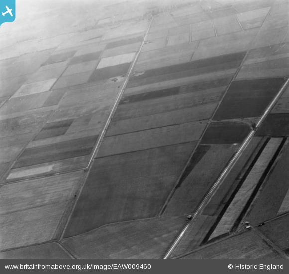
EAW009460 ENGLAND (1947). The area around Anchor Drove and Long Drove, Feltwell, 1947. This image has been produced from a print.
© Copyright OpenStreetMap contributors and licensed by the OpenStreetMap Foundation. 2024. Cartography is licensed as CC BY-SA.
Details
| Title | [EAW009460] The area around Anchor Drove and Long Drove, Feltwell, 1947. This image has been produced from a print. |
| Reference | EAW009460 |
| Date | 19-August-1947 |
| Link | |
| Place name | FELTWELL |
| Parish | FELTWELL |
| District | |
| Country | ENGLAND |
| Easting / Northing | 564538, 291016 |
| Longitude / Latitude | 0.42381507371487, 52.49183454041 |
| National Grid Reference | TL645910 |
Pins
 incony |
Tuesday 21st of May 2019 02:18:31 PM |