
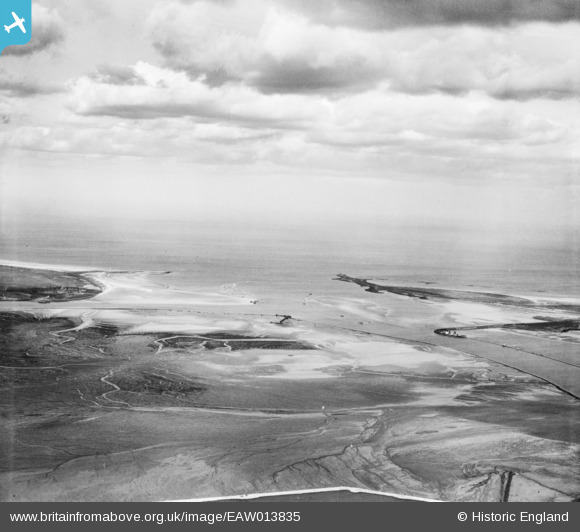
EAW013835 ENGLAND (1948). The Tees Estuary, Billingham, from the south, 1948
© Copyright OpenStreetMap contributors and licensed by the OpenStreetMap Foundation. 2024. Cartography is licensed as CC BY-SA.
Details
| Title | [EAW013835] The Tees Estuary, Billingham, from the south, 1948 |
| Reference | EAW013835 |
| Date | 16-March-1948 |
| Link | |
| Place name | BILLINGHAM |
| Parish | BILLINGHAM |
| District | |
| Country | ENGLAND |
| Easting / Northing | 454191, 526063 |
| Longitude / Latitude | -1.1605335254985, 54.626674443277 |
| National Grid Reference | NZ542261 |
