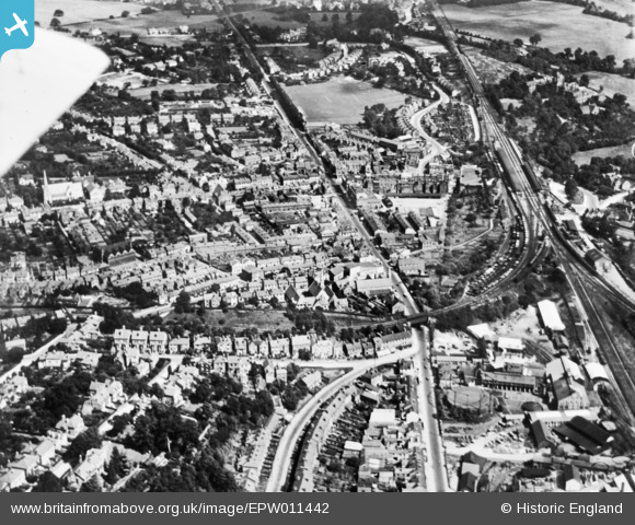
EPW011442 ENGLAND (1924). The town, Redhill, 1924. This image has been produced from a copy-negative.
© Copyright OpenStreetMap contributors and licensed by the OpenStreetMap Foundation. 2024. Cartography is licensed as CC BY-SA.
Details
| Title | [EPW011442] The town, Redhill, 1924. This image has been produced from a copy-negative. |
| Reference | EPW011442 |
| Date | July-1924 |
| Link | |
| Place name | REDHILL |
| Parish | |
| District | |
| Country | ENGLAND |
| Easting / Northing | 527883, 150464 |
| Longitude / Latitude | -0.16786540353929, 51.238491287867 |
| National Grid Reference | TQ279505 |