
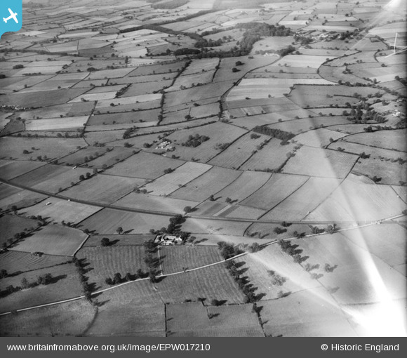
EPW017210 ENGLAND (1926). Crambe Bank, Crambe, from the south-east, 1926
© Copyright OpenStreetMap contributors and licensed by the OpenStreetMap Foundation. 2024. Cartography is licensed as CC BY-SA.
Details
| Title | [EPW017210] Crambe Bank, Crambe, from the south-east, 1926 |
| Reference | EPW017210 |
| Date | 16-October-1926 |
| Link | |
| Place name | CRAMBE |
| Parish | CRAMBE |
| District | |
| Country | ENGLAND |
| Easting / Northing | 473308, 463575 |
| Longitude / Latitude | -0.87982539459094, 54.062714415582 |
| National Grid Reference | SE733636 |
Pins
 Wolfie |
Wednesday 8th of May 2024 11:42:22 PM | |
Wolfie |
Wednesday 8th of May 2024 11:41:55 PM | |
Wolfie |
Wednesday 8th of May 2024 11:40:03 PM | |
Wolfie |
Wednesday 8th of May 2024 11:38:41 PM | |
Wolfie |
Wednesday 8th of May 2024 11:36:52 PM |