
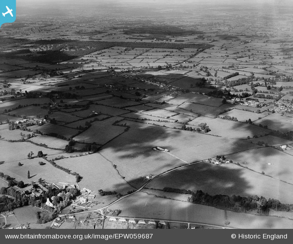
EPW059687 ENGLAND (1938). Keycroft Copse looking towards Manor Hill Farm and the countryside beyond, Purton, from the south-east, 1938
© Copyright OpenStreetMap contributors and licensed by the OpenStreetMap Foundation. 2024. Cartography is licensed as CC BY-SA.
Details
| Title | [EPW059687] Keycroft Copse looking towards Manor Hill Farm and the countryside beyond, Purton, from the south-east, 1938 |
| Reference | EPW059687 |
| Date | 29-September-1938 |
| Link | |
| Place name | PURTON |
| Parish | PURTON |
| District | |
| Country | ENGLAND |
| Easting / Northing | 409124, 186581 |
| Longitude / Latitude | -1.8683181533259, 51.577544329893 |
| National Grid Reference | SU091866 |
Pins
 Ferrers |
Thursday 31st of December 2020 03:30:32 PM |