
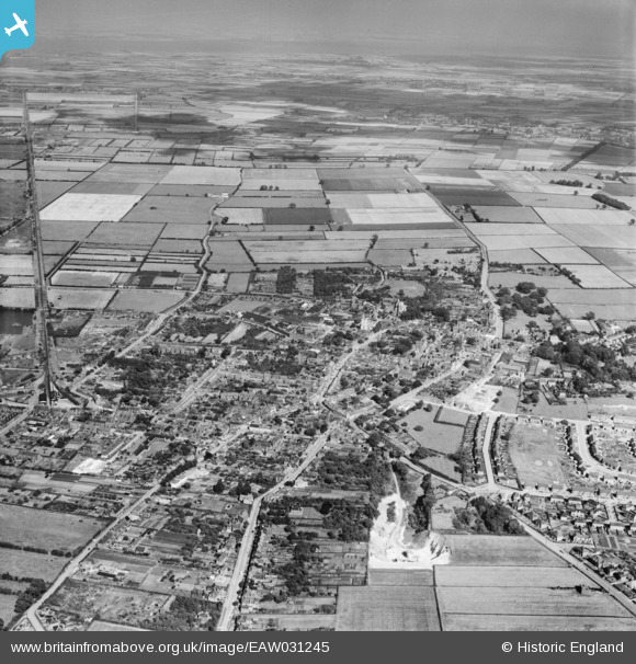
EAW031245 ENGLAND (1950). The town, Barton-Upon-Humber, from the west, 1950
© Hawlfraint cyfranwyr OpenStreetMap a thrwyddedwyd gan yr OpenStreetMap Foundation. 2025. Trwyddedir y gartograffeg fel CC BY-SA.
Manylion
| Pennawd | [EAW031245] The town, Barton-Upon-Humber, from the west, 1950 |
| Cyfeirnod | EAW031245 |
| Dyddiad | 25-July-1950 |
| Dolen | |
| Enw lle | BARTON-UPON-HUMBER |
| Plwyf | BARTON-UPON-HUMBER |
| Ardal | |
| Gwlad | ENGLAND |
| Dwyreiniad / Gogleddiad | 502694, 422094 |
| Hydred / Lledred | -0.44484731635609, 53.6849660865 |
| Cyfeirnod Grid Cenedlaethol | TA027221 |
Pinnau
 SD |
Saturday 15th of March 2025 03:33:28 PM | |
redmist |
Thursday 26th of September 2019 08:58:50 PM | |
redmist |
Thursday 26th of September 2019 08:45:33 PM | |
Bartonian |
Thursday 6th of November 2014 01:01:43 AM | |
Bartonian |
Thursday 6th of November 2014 12:56:47 AM | |
Bartonian |
Thursday 6th of November 2014 12:55:11 AM | |
Bartonian |
Thursday 6th of November 2014 12:54:32 AM | |
Bartonian |
Thursday 6th of November 2014 12:52:56 AM |