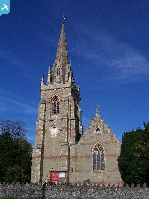
EPW005385 ENGLAND (1921). General view over the town, Malvern Link, from the south-west, 1921

© Hawlfraint cyfranwyr OpenStreetMap a thrwyddedwyd gan yr OpenStreetMap Foundation. 2025. Trwyddedir y gartograffeg fel CC BY-SA.
Manylion
| Pennawd | [EPW005385] General view over the town, Malvern Link, from the south-west, 1921 |
| Cyfeirnod | EPW005385 |
| Dyddiad | March-1921 |
| Dolen | |
| Enw lle | MALVERN LINK |
| Plwyf | MALVERN |
| Ardal | |
| Gwlad | ENGLAND |
| Dwyreiniad / Gogleddiad | 377642, 247443 |
| Hydred / Lledred | -2.3266165305066, 52.124435076667 |
| Cyfeirnod Grid Cenedlaethol | SO776474 |
Pinnau
 HonkyDoreen |
Thursday 1st of February 2024 10:25:49 AM | |
Mike beard |
Saturday 8th of February 2014 08:48:41 AM | |
Malvern Girl |
Tuesday 11th of September 2012 09:22:15 PM | |
SheerFortitude |
Tuesday 4th of September 2012 04:09:20 PM | |
SheerFortitude |
Tuesday 4th of September 2012 04:08:15 PM | |
Mike Fawson |
Monday 2nd of July 2012 05:17:37 PM | |
SHSpeck |
Sunday 1st of July 2012 05:45:43 PM | |
netti |
Saturday 30th of June 2012 08:07:11 PM | |
 BobE |
Thursday 28th of June 2012 12:40:16 PM | |
1926 OS map shows ground running approximately East-West, 90 degrees from this view. |
gBr |
Tuesday 28th of May 2019 09:30:01 PM |
BobE |
Thursday 28th of June 2012 12:37:37 PM | |
BobE |
Thursday 28th of June 2012 12:30:26 PM | |
Hi Bob - this is Pickersleigh Avenue! |
HughW |
Saturday 24th of May 2014 10:16:25 PM |
BobE |
Thursday 28th of June 2012 12:29:01 PM | |
BobE |
Thursday 28th of June 2012 12:27:25 PM | |
BobE |
Thursday 28th of June 2012 12:25:24 PM | |
BobE |
Thursday 28th of June 2012 12:23:24 PM | |
BobE |
Thursday 28th of June 2012 12:20:34 PM | |
I think it is Redland Road. |
Don Knight |
Tuesday 3rd of July 2012 12:47:17 PM |
BobE |
Thursday 28th of June 2012 12:19:54 PM |