
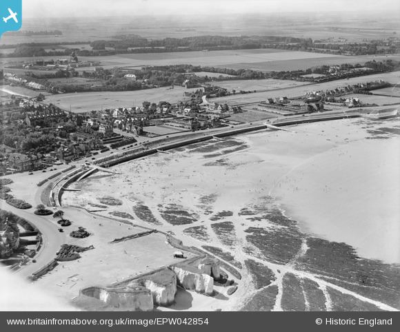
EPW042854 ENGLAND (1933). Westgate Bay, Westgate-on-Sea, 1933
© Hawlfraint cyfranwyr OpenStreetMap a thrwyddedwyd gan yr OpenStreetMap Foundation. 2025. Trwyddedir y gartograffeg fel CC BY-SA.
Delweddau cyfagos (3)
EPW042854

EPW035476

EPW042857

Manylion
| Pennawd | [EPW042854] Westgate Bay, Westgate-on-Sea, 1933 |
| Cyfeirnod | EPW042854 |
| Dyddiad | August-1933 |
| Dolen | |
| Enw lle | WESTGATE-ON-SEA |
| Plwyf | |
| Ardal | |
| Gwlad | ENGLAND |
| Dwyreiniad / Gogleddiad | 631853, 170143 |
| Hydred / Lledred | 1.3323749082326, 51.38240208581 |
| Cyfeirnod Grid Cenedlaethol | TR319701 |
Pinnau
 LoonzM |
Friday 12th of April 2024 10:56:08 PM | |
carruthers |
Saturday 29th of January 2022 05:08:07 PM |