
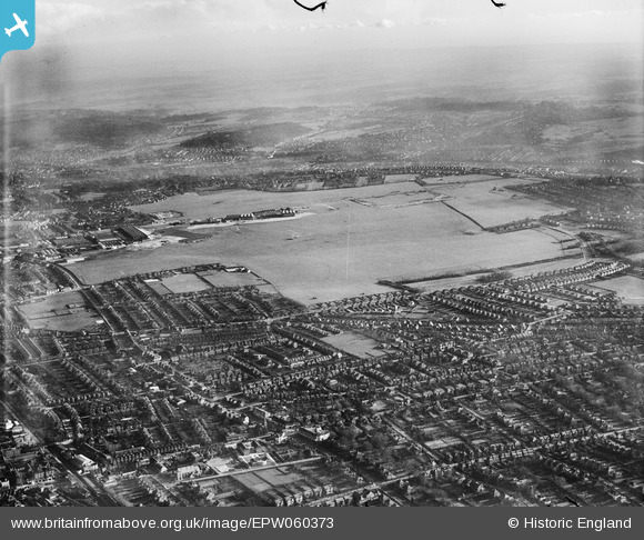
EPW060373 ENGLAND (1939). Croydon Airport and environs, Roundshaw, from the west, 1939
© Hawlfraint cyfranwyr OpenStreetMap a thrwyddedwyd gan yr OpenStreetMap Foundation. 2025. Trwyddedir y gartograffeg fel CC BY-SA.
Manylion
| Pennawd | [EPW060373] Croydon Airport and environs, Roundshaw, from the west, 1939 |
| Cyfeirnod | EPW060373 |
| Dyddiad | 13-January-1939 |
| Dolen | |
| Enw lle | ROUNDSHAW |
| Plwyf | |
| Ardal | |
| Gwlad | ENGLAND |
| Dwyreiniad / Gogleddiad | 529684, 163550 |
| Hydred / Lledred | -0.13732217584974, 51.35570262494 |
| Cyfeirnod Grid Cenedlaethol | TQ297636 |
Pinnau
 Chris |
Monday 10th of October 2022 10:42:28 PM | |
brianbeckett |
Wednesday 17th of September 2014 10:36:30 PM | |
christhewino |
Wednesday 6th of November 2013 10:20:49 PM | |
christhewino |
Wednesday 6th of November 2013 10:19:45 PM | |
christhewino |
Wednesday 6th of November 2013 10:18:16 PM | |
christhewino |
Wednesday 6th of November 2013 10:17:22 PM | |
christhewino |
Wednesday 6th of November 2013 10:16:09 PM | |
longshot |
Tuesday 18th of June 2013 01:48:03 AM |