
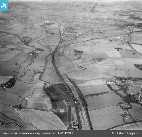
EAW012311 ENGLAND (1947). The St Helens Canal north of Winwick Quay, Winwick, 1947
© Copyright OpenStreetMap contributors and licensed by the OpenStreetMap Foundation. 2025. Cartography is licensed as CC BY-SA.
Details
| Title | [EAW012311] The St Helens Canal north of Winwick Quay, Winwick, 1947 |
| Reference | EAW012311 |
| Date | 26-November-1947 |
| Link | |
| Place name | WINWICK |
| Parish | WINWICK |
| District | |
| Country | ENGLAND |
| Easting / Northing | 359074, 392870 |
| Longitude / Latitude | -2.6160423204868, 53.430768208352 |
| National Grid Reference | SJ591929 |
Pins
 United Red 12 |
Wednesday 20th of November 2024 12:35:21 AM | |
 Ginger79 |
Monday 29th of March 2021 06:55:55 PM | |
manitas |
Tuesday 27th of January 2015 09:38:18 AM | |
Dave |
Tuesday 21st of January 2014 12:35:40 PM | |
Dave |
Tuesday 21st of January 2014 12:32:06 PM | |
Dave |
Tuesday 21st of January 2014 12:29:18 PM | |
beast66606 |
Monday 2nd of December 2013 10:34:01 PM |