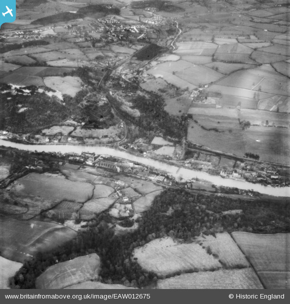
EAW012675 ENGLAND (1948). The River Severn in flood below Blists Hill, Ironbridge, 1948
© Copyright OpenStreetMap contributors and licensed by the OpenStreetMap Foundation. 2025. Cartography is licensed as CC BY-SA.
Details
| Title | [EAW012675] The River Severn in flood below Blists Hill, Ironbridge, 1948 |
| Reference | EAW012675 |
| Date | 14-January-1948 |
| Link | |
| Place name | IRONBRIDGE |
| Parish | THE GORGE |
| District | |
| Country | ENGLAND |
| Easting / Northing | 369316, 302753 |
| Longitude / Latitude | -2.4533061152596, 52.62132177874 |
| National Grid Reference | SJ693028 |
Pins
 Lee |
Sunday 24th of February 2019 10:38:27 AM | |
 Lee |
Sunday 24th of February 2019 10:37:07 AM | |
 severnsider |
Wednesday 18th of November 2015 03:00:44 PM |

