
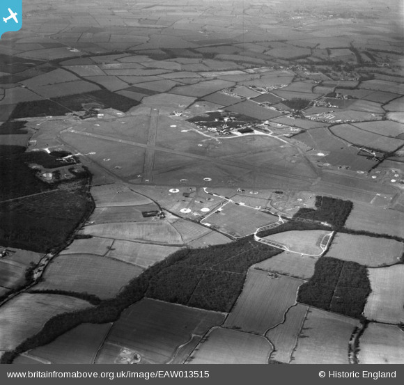
EAW013515 ENGLAND (1948). RAF Podington, Odell, 1948
© Copyright OpenStreetMap contributors and licensed by the OpenStreetMap Foundation. 2025. Cartography is licensed as CC BY-SA.
Details
| Title | [EAW013515] RAF Podington, Odell, 1948 |
| Reference | EAW013515 |
| Date | 9-March-1948 |
| Link | |
| Place name | ODELL |
| Parish | ODELL |
| District | |
| Country | ENGLAND |
| Easting / Northing | 495764, 260217 |
| Longitude / Latitude | -0.5976396360941, 52.231413813037 |
| National Grid Reference | SP958602 |
Pins
Be the first to add a comment to this image!