
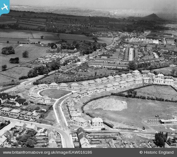
EAW016186 ENGLAND (1948). New houses along Welbeck Road and environs, Long Eaton, from the south-east, 1948
© Copyright OpenStreetMap contributors and licensed by the OpenStreetMap Foundation. 2025. Cartography is licensed as CC BY-SA.
Nearby Images (17)
EAW016186

EAW006391

EAW016183

EAW016180

EAW016185

EAW016181

EAW006388

EAW016182

EAW016178

EAW006390

EAW006389

EAW006386

EAW006384

EAW006385

EAW006387

EAW016179

EAW016184

Details
| Title | [EAW016186] New houses along Welbeck Road and environs, Long Eaton, from the south-east, 1948 |
| Reference | EAW016186 |
| Date | 27-May-1948 |
| Link | |
| Place name | LONG EATON |
| Parish | |
| District | |
| Country | ENGLAND |
| Easting / Northing | 447957, 335356 |
| Longitude / Latitude | -1.286757358348, 52.913167696965 |
| National Grid Reference | SK480354 |
Pins
Be the first to add a comment to this image!