
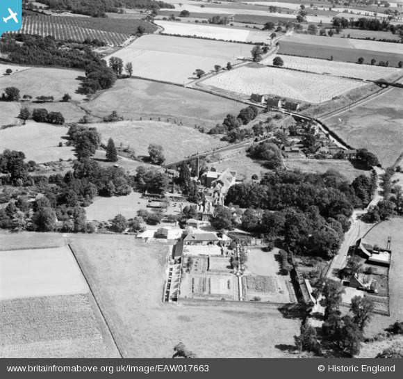
EAW017663 ENGLAND (1948). Wickham Place and Wickham Place Farm, Wickham Bishops, 1948
© Copyright OpenStreetMap contributors and licensed by the OpenStreetMap Foundation. 2025. Cartography is licensed as CC BY-SA.
Details
| Title | [EAW017663] Wickham Place and Wickham Place Farm, Wickham Bishops, 1948 |
| Reference | EAW017663 |
| Date | 26-July-1948 |
| Link | |
| Place name | WICKHAM BISHOPS |
| Parish | WICKHAM BISHOPS |
| District | |
| Country | ENGLAND |
| Easting / Northing | 582374, 211724 |
| Longitude / Latitude | 0.64373739827399, 51.773978218872 |
| National Grid Reference | TL824117 |
Pins
 Gen_Hancock |
Friday 3rd of February 2017 03:57:51 PM |