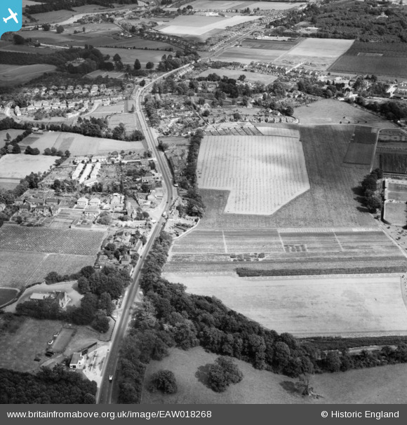
EAW018268 ENGLAND (1948). London Road and the surrounding area, East Malling, 1948
© Copyright OpenStreetMap contributors and licensed by the OpenStreetMap Foundation. 2025. Cartography is licensed as CC BY-SA.
Details
| Title | [EAW018268] London Road and the surrounding area, East Malling, 1948 |
| Reference | EAW018268 |
| Date | 20-August-1948 |
| Link | |
| Place name | EAST MALLING |
| Parish | EAST MALLING AND LARKFIELD |
| District | |
| Country | ENGLAND |
| Easting / Northing | 570346, 158276 |
| Longitude / Latitude | 0.4436902598774, 51.297582097888 |
| National Grid Reference | TQ703583 |