
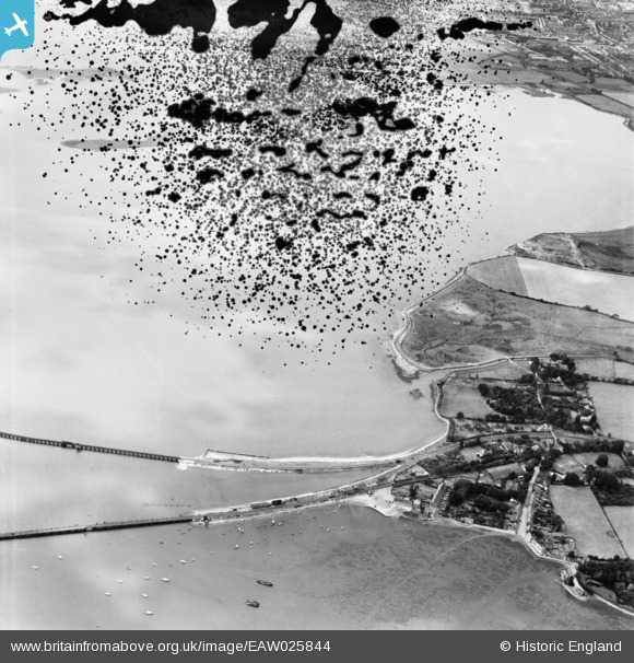
EAW025844 ENGLAND (1949). The village and Langstone Harbour, Langstone, 1949. This image has been produced from a damaged negative.
© Copyright OpenStreetMap contributors and licensed by the OpenStreetMap Foundation. 2025. Cartography is licensed as CC BY-SA.
Details
| Title | [EAW025844] The village and Langstone Harbour, Langstone, 1949. This image has been produced from a damaged negative. |
| Reference | EAW025844 |
| Date | 10-August-1949 |
| Link | |
| Place name | LANGSTONE |
| Parish | |
| District | |
| Country | ENGLAND |
| Easting / Northing | 471324, 104655 |
| Longitude / Latitude | -0.98699714699732, 50.836464566248 |
| National Grid Reference | SU713047 |
Pins
 Good Old Uncle Ted |
Thursday 1st of December 2022 06:29:24 PM | |
flubber |
Monday 1st of September 2014 01:15:03 PM | |
flubber |
Monday 1st of September 2014 01:13:18 PM |