
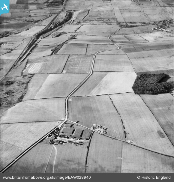
EAW028940 ENGLAND (1950). Winterton Road and the surrounding countryside, Roxby, 1950
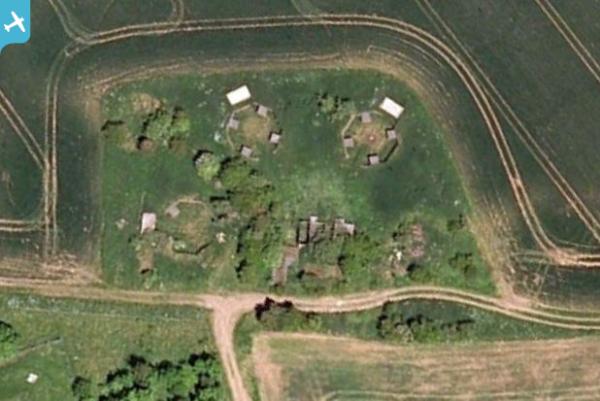
© Copyright OpenStreetMap contributors and licensed by the OpenStreetMap Foundation. 2025. Cartography is licensed as CC BY-SA.
Details
| Title | [EAW028940] Winterton Road and the surrounding countryside, Roxby, 1950 |
| Reference | EAW028940 |
| Date | 5-May-1950 |
| Link | |
| Place name | ROXBY |
| Parish | ROXBY CUM RISBY |
| District | |
| Country | ENGLAND |
| Easting / Northing | 491283, 415376 |
| Longitude / Latitude | -0.6195658413252, 53.626712640508 |
| National Grid Reference | SE913154 |
Pins
 Matt Aldred edob.mattaldred.com |
Monday 31st of March 2025 10:24:07 AM | |
 redmist |
Thursday 31st of March 2022 08:50:45 PM | |
DaveH |
Thursday 28th of November 2019 03:38:13 PM | |
DaveH |
Thursday 28th of November 2019 03:37:29 PM | |
DaveH |
Thursday 21st of November 2019 05:32:35 PM | |
redmist |
Saturday 2nd of February 2019 01:10:36 PM | |
 |
redmist |
Saturday 2nd of February 2019 01:03:05 PM |