
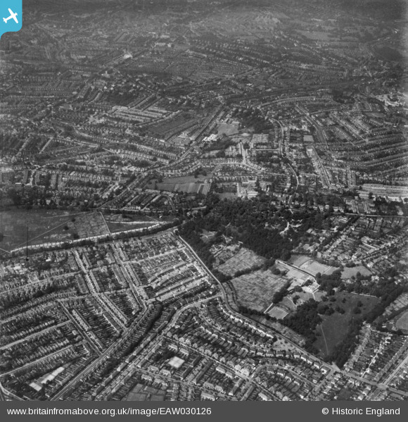
EAW030126 ENGLAND (1950). Norwood Grove and environs, Streatham, 1950. This image has been produced from a print.
© Copyright OpenStreetMap contributors and licensed by the OpenStreetMap Foundation. 2025. Cartography is licensed as CC BY-SA.
Details
| Title | [EAW030126] Norwood Grove and environs, Streatham, 1950. This image has been produced from a print. |
| Reference | EAW030126 |
| Date | 6-June-1950 |
| Link | |
| Place name | STREATHAM |
| Parish | |
| District | |
| Country | ENGLAND |
| Easting / Northing | 530896, 171089 |
| Longitude / Latitude | -0.11714403493476, 51.423183843188 |
| National Grid Reference | TQ309711 |
Pins
 RobC |
Wednesday 24th of June 2020 06:43:21 PM | |
RobC |
Wednesday 24th of June 2020 06:42:33 PM | |
Post-war prefabs |
Saturday 18th of January 2020 08:15:48 AM | |
Jez |
Saturday 27th of October 2018 10:03:35 PM | |
brianbeckett |
Thursday 18th of September 2014 08:11:28 PM | |
brianbeckett |
Thursday 18th of September 2014 08:10:07 PM |