
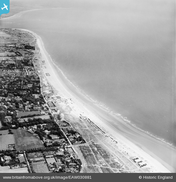
EAW030881 ENGLAND (1950). Hayling Bay, South Hayling, 1950
© Copyright OpenStreetMap contributors and licensed by the OpenStreetMap Foundation. 2025. Cartography is licensed as CC BY-SA.
Details
| Title | [EAW030881] Hayling Bay, South Hayling, 1950 |
| Reference | EAW030881 |
| Date | 13-July-1950 |
| Link | |
| Place name | SOUTH HAYLING |
| Parish | |
| District | |
| Country | ENGLAND |
| Easting / Northing | 471504, 98539 |
| Longitude / Latitude | -0.98563289316658, 50.781446302706 |
| National Grid Reference | SZ715985 |
Pins
 redmist |
Saturday 28th of January 2023 04:32:40 PM | |
redmist |
Saturday 28th of January 2023 04:30:14 PM | |
redmist |
Saturday 28th of January 2023 04:27:33 PM | |
redmist |
Saturday 28th of January 2023 04:23:16 PM | |
redmist |
Saturday 28th of January 2023 04:20:24 PM | |
redmist |
Saturday 28th of January 2023 04:18:05 PM |