
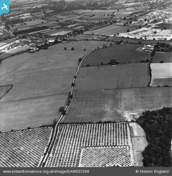
EAW037268 ENGLAND (1951). Olivers Lane and Gosbecks Iron Age and Romano-British site, Shrub End, 1951. This image has been produced from a print.
© Copyright OpenStreetMap contributors and licensed by the OpenStreetMap Foundation. 2025. Cartography is licensed as CC BY-SA.
Details
| Title | [EAW037268] Olivers Lane and Gosbecks Iron Age and Romano-British site, Shrub End, 1951. This image has been produced from a print. |
| Reference | EAW037268 |
| Date | 21-June-1951 |
| Link | |
| Place name | SHRUB END |
| Parish | |
| District | |
| Country | ENGLAND |
| Easting / Northing | 597121, 222351 |
| Longitude / Latitude | 0.86328512855509, 51.86441854427 |
| National Grid Reference | TL971224 |
Pins
Be the first to add a comment to this image!