
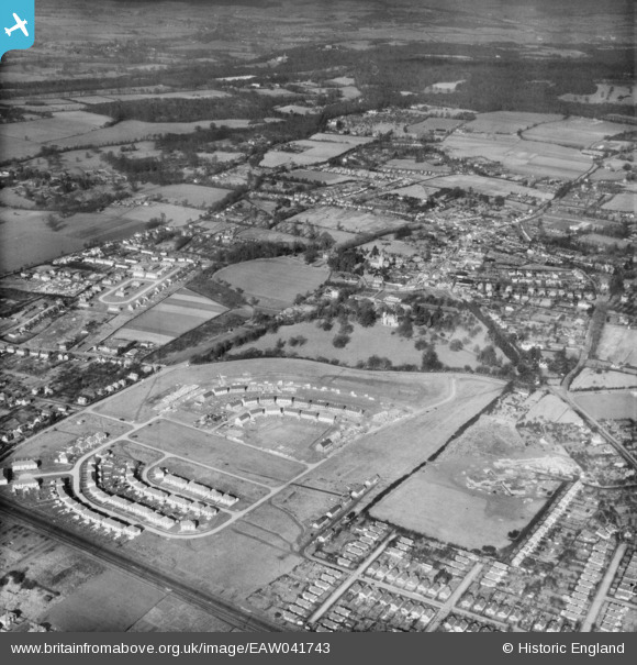
EAW041743 ENGLAND (1952). A new housing estate under construction to the south of The Priory, Burnham, 1952
© Copyright OpenStreetMap contributors and licensed by the OpenStreetMap Foundation. 2025. Cartography is licensed as CC BY-SA.
Details
| Title | [EAW041743] A new housing estate under construction to the south of The Priory, Burnham, 1952 |
| Reference | EAW041743 |
| Date | 20-February-1952 |
| Link | |
| Place name | BURNHAM |
| Parish | BURNHAM |
| District | |
| Country | ENGLAND |
| Easting / Northing | 493116, 182095 |
| Longitude / Latitude | -0.657490992757, 51.529597071646 |
| National Grid Reference | SU931821 |
Pins
 Jann |
Saturday 19th of January 2019 12:50:54 AM | |
Aaron |
Monday 16th of April 2018 07:44:07 PM | |
Aaron |
Monday 16th of April 2018 07:43:38 PM | |
designking |
Friday 26th of September 2014 08:35:25 PM |