
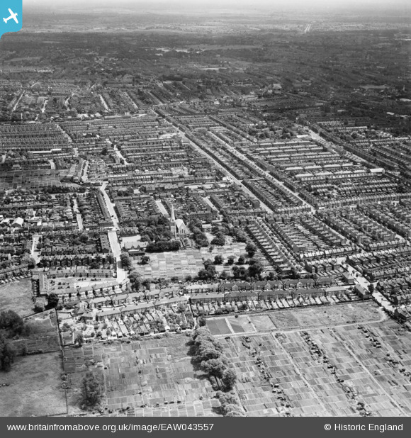
EAW043557 ENGLAND (1952). Markmanor Avenue, St Saviour's Church and the area around Boundary Road, Leyton, from the west, 1952
© Copyright OpenStreetMap contributors and licensed by the OpenStreetMap Foundation. 2025. Cartography is licensed as CC BY-SA.
Details
| Title | [EAW043557] Markmanor Avenue, St Saviour's Church and the area around Boundary Road, Leyton, from the west, 1952 |
| Reference | EAW043557 |
| Date | 4-June-1952 |
| Link | |
| Place name | LEYTON |
| Parish | |
| District | |
| Country | ENGLAND |
| Easting / Northing | 536548, 187807 |
| Longitude / Latitude | -0.029423096774244, 51.572098277501 |
| National Grid Reference | TQ365878 |
Pins
 Post-war prefabs |
Wednesday 20th of November 2019 11:10:48 AM | |
Post-war prefabs |
Wednesday 20th of November 2019 11:08:26 AM |