
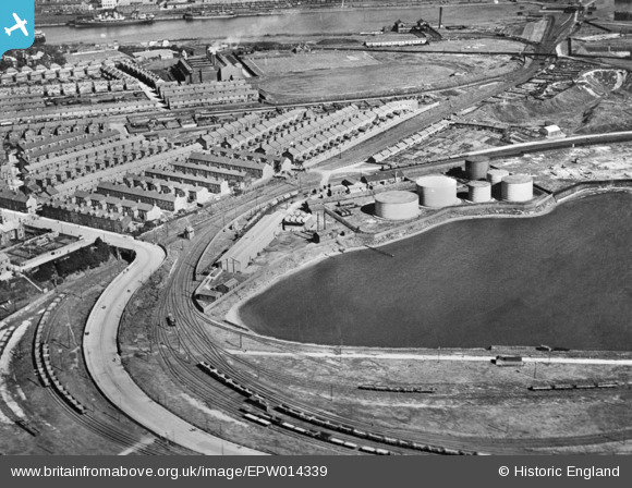
EPW014339 ENGLAND (1925). Dockyard Junction, Ramsden Dock Road and environs, Barrow-In-Furness, 1925. This image has been produced from a copy-negative.
© Copyright OpenStreetMap contributors and licensed by the OpenStreetMap Foundation. 2025. Cartography is licensed as CC BY-SA.
Details
| Title | [EPW014339] Dockyard Junction, Ramsden Dock Road and environs, Barrow-In-Furness, 1925. This image has been produced from a copy-negative. |
| Reference | EPW014339 |
| Date | 24-September-1925 |
| Link | |
| Place name | BARROW-IN-FURNESS |
| Parish | |
| District | |
| Country | ENGLAND |
| Easting / Northing | 319829, 467870 |
| Longitude / Latitude | -3.2261558567343, 54.100289442395 |
| National Grid Reference | SD198679 |
Pins
 Matthew Culley |
Sunday 29th of March 2020 06:28:36 PM | |
Matthew Culley |
Sunday 29th of March 2020 06:27:26 PM | |
DaveH |
Monday 2nd of April 2018 01:10:51 PM | |
DaveH |
Monday 2nd of April 2018 01:09:42 PM |