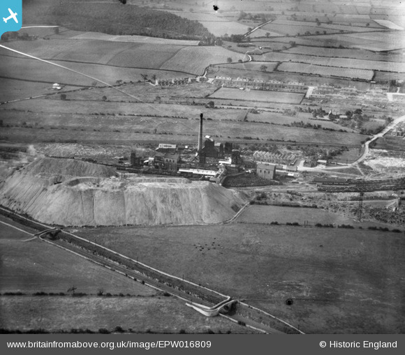
EPW016809 ENGLAND (1926). Shirebrook Colliery, Shirebrook, 1926
© Copyright OpenStreetMap contributors and licensed by the OpenStreetMap Foundation. 2025. Cartography is licensed as CC BY-SA.
Details
| Title | [EPW016809] Shirebrook Colliery, Shirebrook, 1926 |
| Reference | EPW016809 |
| Date | August-1926 |
| Link | |
| Place name | SHIREBROOK |
| Parish | SHIREBROOK |
| District | |
| Country | ENGLAND |
| Easting / Northing | 453119, 366851 |
| Longitude / Latitude | -1.2047974723576, 53.195799258546 |
| National Grid Reference | SK531669 |
Pins
 Waldemar |
Friday 24th of November 2023 08:32:30 AM | |
 Waldemar |
Friday 24th of November 2023 08:31:47 AM | |
 Waldemar |
Friday 24th of November 2023 08:29:37 AM | |
 Waldemar |
Friday 24th of November 2023 08:29:23 AM | |
 Waldemar |
Friday 24th of November 2023 08:26:23 AM | |
 Waldemar |
Friday 24th of November 2023 08:24:07 AM | |
 DaveH |
Friday 10th of November 2023 10:27:24 PM | |
 DaveH |
Friday 10th of November 2023 10:23:43 PM |

