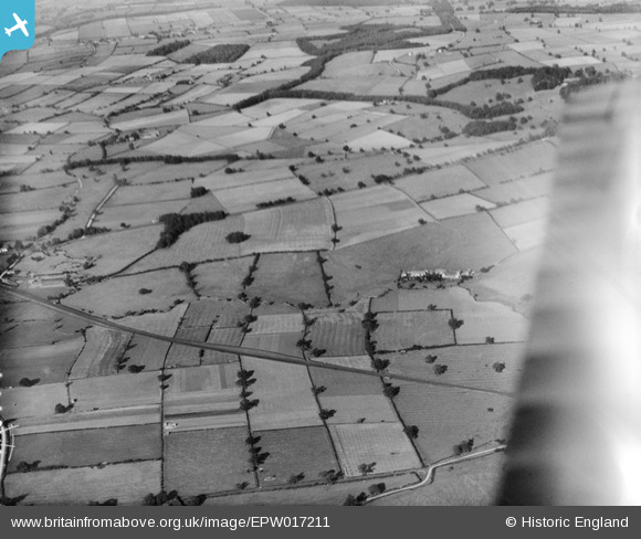
EPW017211 ENGLAND (1926). Landscape around Pasture House, Barton-le-Willows, from the south, 1926
© Copyright OpenStreetMap contributors and licensed by the OpenStreetMap Foundation. 2025. Cartography is licensed as CC BY-SA.
Details
| Title | [EPW017211] Landscape around Pasture House, Barton-le-Willows, from the south, 1926 |
| Reference | EPW017211 |
| Date | 16-October-1926 |
| Link | |
| Place name | BARTON-LE-WILLOWS |
| Parish | BARTON-LE-WILLOWS |
| District | |
| Country | ENGLAND |
| Easting / Northing | 471668, 463732 |
| Longitude / Latitude | -0.90484299219033, 54.06435609353 |
| National Grid Reference | SE717637 |