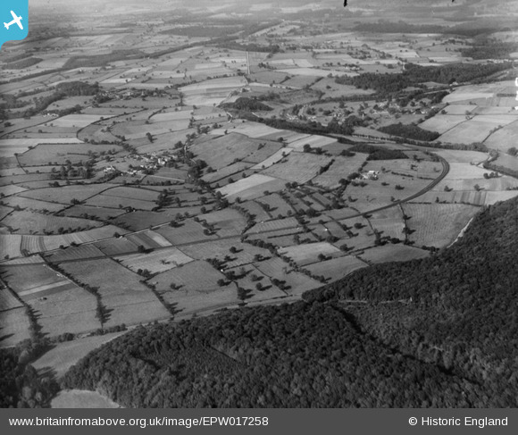
EPW017258 ENGLAND (1926). The landscape around Crambe from Howsham Wood, Crambe, from the south-west, 1926
© Copyright OpenStreetMap contributors and licensed by the OpenStreetMap Foundation. 2025. Cartography is licensed as CC BY-SA.
Details
| Title | [EPW017258] The landscape around Crambe from Howsham Wood, Crambe, from the south-west, 1926 |
| Reference | EPW017258 |
| Date | 19-October-1926 |
| Link | |
| Place name | CRAMBE |
| Parish | CRAMBE |
| District | |
| Country | ENGLAND |
| Easting / Northing | 474237, 463972 |
| Longitude / Latitude | -0.86553572314785, 54.066149183813 |
| National Grid Reference | SE742640 |