
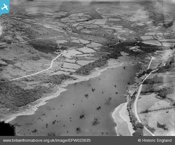
EPW023635 ENGLAND (1928). Sharpitor and Norsworthy Plantation, Burrator Reservoir, from the south-west, 1928
© Copyright OpenStreetMap contributors and licensed by the OpenStreetMap Foundation. 2025. Cartography is licensed as CC BY-SA.
Details
| Title | [EPW023635] Sharpitor and Norsworthy Plantation, Burrator Reservoir, from the south-west, 1928 |
| Reference | EPW023635 |
| Date | September-1928 |
| Link | |
| Place name | BURRATOR RESERVOIR |
| Parish | SHEEPSTOR |
| District | |
| Country | ENGLAND |
| Easting / Northing | 255846, 68786 |
| Longitude / Latitude | -4.0328955754571, 50.500512275106 |
| National Grid Reference | SX558688 |
Pins
Allen T |
Tuesday 9th of October 2012 07:49:29 PM | |
Allen T |
Tuesday 9th of October 2012 07:48:47 PM |