
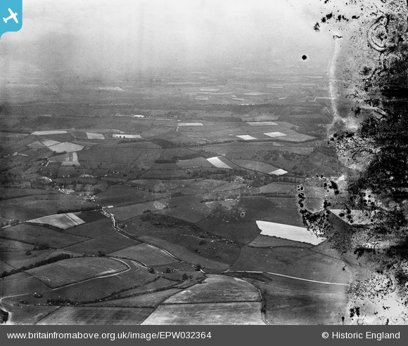
EPW032364 ENGLAND (1930). Henning Hill, Bingham's Melcombe and surrounding countryside, Cross Lanes, from the south-west, 1930. This image has been produced from a damaged negative.
© Copyright OpenStreetMap contributors and licensed by the OpenStreetMap Foundation. 2025. Cartography is licensed as CC BY-SA.
Details
| Title | [EPW032364] Henning Hill, Bingham's Melcombe and surrounding countryside, Cross Lanes, from the south-west, 1930. This image has been produced from a damaged negative. |
| Reference | EPW032364 |
| Date | June-1930 |
| Link | |
| Place name | CROSS LANES |
| Parish | MELCOMBE HORSEY |
| District | |
| Country | ENGLAND |
| Easting / Northing | 375879, 101588 |
| Longitude / Latitude | -2.342410035827, 50.812775774134 |
| National Grid Reference | ST759016 |
Pins
Be the first to add a comment to this image!