
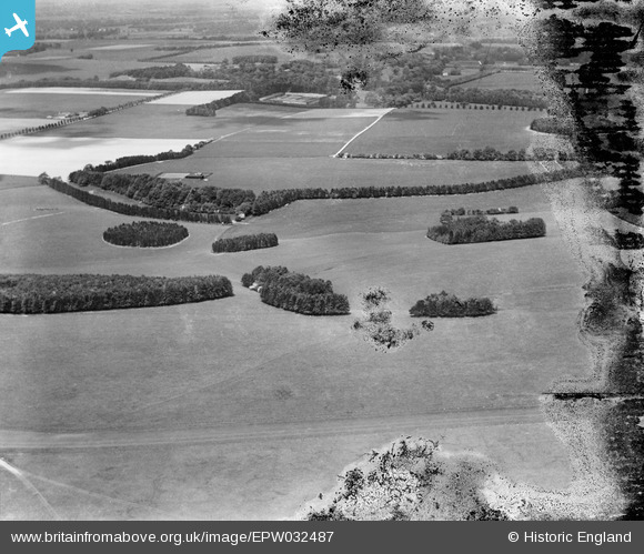
EPW032487 ENGLAND (1930). Long Valley Down, East Lockinge, from the south-east, 1930. This image has been produced from a damaged negative.
© Copyright OpenStreetMap contributors and licensed by the OpenStreetMap Foundation. 2025. Cartography is licensed as CC BY-SA.
Details
| Title | [EPW032487] Long Valley Down, East Lockinge, from the south-east, 1930. This image has been produced from a damaged negative. |
| Reference | EPW032487 |
| Date | June-1930 |
| Link | |
| Place name | EAST LOCKINGE |
| Parish | LOCKINGE |
| District | |
| Country | ENGLAND |
| Easting / Northing | 443415, 184831 |
| Longitude / Latitude | -1.3736499103958, 51.560210038837 |
| National Grid Reference | SU434848 |
Pins
 Class31 |
Wednesday 2nd of January 2013 08:26:35 PM | |
Class31 |
Wednesday 2nd of January 2013 08:23:24 PM | |
Class31 |
Wednesday 2nd of January 2013 08:22:40 PM | |
Class31 |
Wednesday 2nd of January 2013 08:21:31 PM | |
Class31 |
Wednesday 2nd of January 2013 08:19:08 PM | |
Class31 |
Wednesday 2nd of January 2013 08:16:29 PM | |
Class31 |
Wednesday 2nd of January 2013 08:15:02 PM |
User Comment Contributions
Eureka |
Class31 |
Thursday 7th of March 2013 04:27:37 PM |
Thank you for spending time on this image - the original Aerofilms Ltd Register entry put this plate and those after it in the Chilterns but with no specific location to help. We'll update the catalogue and post your new data here in due course. Yours, Katy Britain from Above Cataloguing Team Leader |
Katy Whitaker |
Thursday 7th of March 2013 04:27:37 PM |