
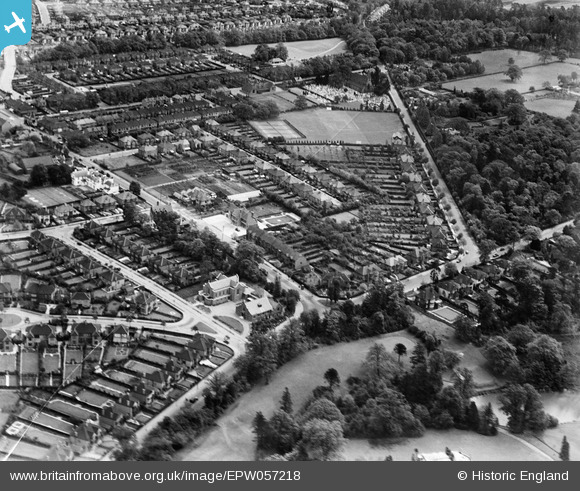
EPW057218 ENGLAND (1938). Shirley Church Road, Wickham Road and environs, Shirley, 1938
© Copyright OpenStreetMap contributors and licensed by the OpenStreetMap Foundation. 2025. Cartography is licensed as CC BY-SA.
Nearby Images (9)
EPW057218

EPW057219

EPW057223

EPW057224

EPW057220

EPW057222

EPW057221

EPW057226

EPW057225

Details
| Title | [EPW057218] Shirley Church Road, Wickham Road and environs, Shirley, 1938 |
| Reference | EPW057218 |
| Date | 26-May-1938 |
| Link | |
| Place name | SHIRLEY |
| Parish | |
| District | |
| Country | ENGLAND |
| Easting / Northing | 535505, 165620 |
| Longitude / Latitude | -0.052975650649847, 51.372948087459 |
| National Grid Reference | TQ355656 |
Pins
 vakart |
Sunday 19th of November 2023 07:10:31 AM | |
 Paul Wendon |
Tuesday 16th of February 2021 09:10:21 PM | |
Paul Wendon |
Tuesday 16th of February 2021 09:09:56 PM | |
Paul Wendon |
Tuesday 16th of February 2021 09:09:33 PM | |
Paul Wendon |
Tuesday 16th of February 2021 09:05:18 PM | |
Paul Wendon |
Tuesday 16th of February 2021 09:02:37 PM | |
Paul Wendon |
Tuesday 16th of February 2021 09:01:49 PM |