
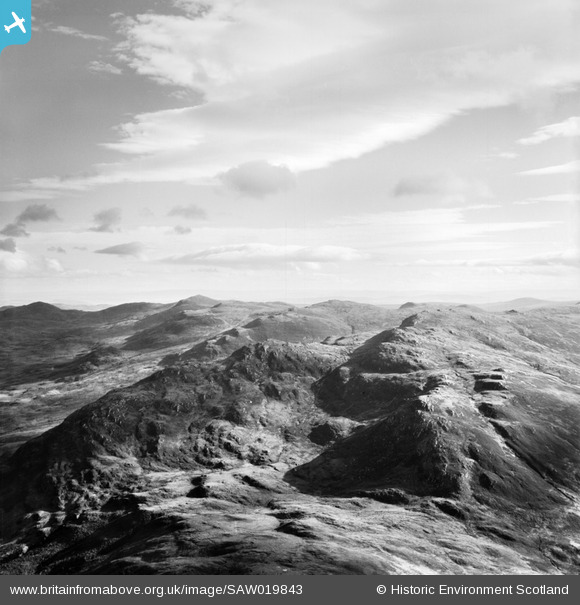
SAW019843 SCOTLAND (1948). Strathconon Forest, general view showing Creag Ghaineamhach. An oblique aerial photograph taken facing east.
© Copyright OpenStreetMap contributors and licensed by the OpenStreetMap Foundation. 2025. Cartography is licensed as CC BY-SA.
Details
| Title | [SAW019843] Strathconon Forest, general view showing Creag Ghaineamhach. An oblique aerial photograph taken facing east. |
| Reference | SAW019843 |
| Date | 1948 |
| Link | Canmore Collection item 1269176 |
| Place name | |
| Parish | CONTIN |
| District | ROSS AND CROMARTY |
| Country | SCOTLAND |
| Easting / Northing | 230700, 854300 |
| Longitude / Latitude | -4.8293433376078, 57.54729313326 |
| National Grid Reference | NH307543 |
Pins
User Comment Contributions
Thanks for Identification! I have checked this against the modern OS, and Google Earth and I'm happy to accept the identification of Creag Ghaineamhach in Strathconon looking east. I have put in a request to update the record, and the corrected details will appear here in due course. Best wishes, Brian Wilkinson Britain from Above Activity Officer (Scotland). |
 Brian Wilkinson |
Wednesday 13th of March 2013 03:06:37 PM |
however I would say the summit Creag Ghaineamhach is the high point on the left ridge, further to the right of the current pin |
TomRobin |
Tuesday 6th of November 2012 04:02:17 PM |
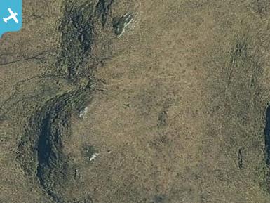
I think that class31 is correct. The flat steps and stream to the right can be seen in the bird's eye view on bing. |
TomRobin |
Tuesday 6th of November 2012 03:58:09 PM |
View looking south towards Creag Ghaineamhach. I would welcome any further contributions on this as this one is difficult to locate. |
 Class31 |
Thursday 30th of August 2012 11:20:48 AM |