
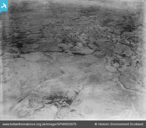
SPW050975 SCOTLAND (1936). Glenapp Estate, general view showing Laight Moor, Duckdubs burn and Tammock burn. An oblique aerial photograph taken facing north-east.
© Copyright OpenStreetMap contributors and licensed by the OpenStreetMap Foundation. 2025. Cartography is licensed as CC BY-SA.
Details
| Title | [SPW050975] Glenapp Estate, general view showing Laight Moor, Duckdubs burn and Tammock burn. An oblique aerial photograph taken facing north-east. |
| Reference | SPW050975 |
| Date | 1936 |
| Link | Canmore Collection item 1258042 |
| Place name | |
| Parish | INCH |
| District | WIGTOWN |
| Country | SCOTLAND |
| Easting / Northing | 206000, 571000 |
| Longitude / Latitude | -5.0331893216116, 54.995637159845 |
| National Grid Reference | NX060710 |
Pins
 Class31 |
Monday 23rd of July 2012 12:15:34 PM | |
Class31 |
Monday 23rd of July 2012 11:41:53 AM | |
Class31 |
Monday 23rd of July 2012 11:30:36 AM | |
Class31 |
Monday 23rd of July 2012 11:25:23 AM | |
Class31 |
Monday 23rd of July 2012 11:25:02 AM | |
Class31 |
Monday 23rd of July 2012 11:22:15 AM |
User Comment Contributions
Dear Class 31, that's a great piece of deductive reasoning to identify what is certainly one of the more problematic images. I do wonder why the Glenapp Estate wanted so many photos of open moorland? The revised record will appear here in due course. Brian Wilkinson Britain from Above Activity Officer (Scotland) |
 Brian Wilkinson |
Friday 31st of August 2012 12:51:03 PM |
These photos are getting seriously difficult to locate because of the lack of line features and the similarity of the terrain. It helps to find features which are in previously identified photos. In this shot two features are found in a previous photo SPW050983. We can identify Duckdubs Burn in the foreground right and Laight Moor. I am less sure of Tammock Burn on the left. Photo is taken above Laight Moor looking North East. |
Class31 |
Monday 23rd of July 2012 11:48:24 AM |