
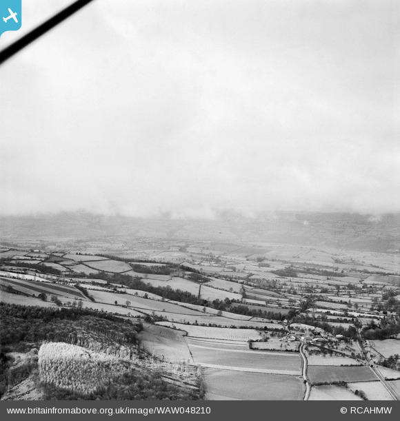
WAW048210 WALES (1952) [Unlocated]. View of New Radnor landscape
© Copyright OpenStreetMap contributors and licensed by the OpenStreetMap Foundation. 2025. Cartography is licensed as CC BY-SA.
Nearby Images (48)
EPW000143

EPW000667

EPW005260

EPW006389
, 1921")
EPW007181

EPW015853

EPW015854

EPW015855

EPW016012

EPW016510

EPW016641

EPW017028

EPW017029

EPW017136

SAW003585

SAW003586

SAW009337

SAW009800

SAW009801

SAW009802

SAW010734

SAW014737

SAW017926

SAW017927

SAW032504

SPW020275

SPW020280

SPW020281

SPW020284

SPW020632

SPW020633

SPW027083

SPW049776

SPW049777

SPW049779

SPW049783

SPW049791

SPW049798

SPW049801

SPW049827

SPW049828

SPW049831

SPW049832

SPW049834

SPW049948

SPW049949

SPW051009

SPW062638

Details
| Title | [WAW048210] View of New Radnor landscape |
| Reference | WAW048210 |
| Date | 1952 |
| Link | Coflein Archive Item 6414625 |
| Place name | |
| Parish | |
| District | |
| Country | WALES |
| Easting / Northing | 0, 0 |
| Longitude / Latitude | -7.556448482059, 49.766185796754 |
| National Grid Reference | SV000000 |
Pins
 Class31 |
Tuesday 29th of April 2014 09:04:44 AM | |
Class31 |
Tuesday 29th of April 2014 08:50:06 AM | |
Class31 |
Tuesday 29th of April 2014 08:46:58 AM | |
Class31 |
Tuesday 29th of April 2014 08:46:32 AM | |
Class31 |
Tuesday 29th of April 2014 08:43:23 AM | |
Class31 |
Tuesday 29th of April 2014 08:18:20 AM | |
This is the Golden Valley branch line from Pontrilas to Hay on Wye. This section was lifted in 1950. For more interesting information see the website of the Ewyas Lacy Study Group I found this page fascinating http://www.ewyaslacy.org.uk/doc.php?d=rs_gdv_0023 |
Class31 |
Tuesday 29th of April 2014 09:03:06 AM |
User Comment Contributions
Katy This photo is in England! The photo is of a little settlement called Bach on the 1952 1:10560 map and The Bage on the 1974 1:50000 map. The settlement is in Herefordshire about two miles north of Dorstone in the valley of the River Dore which is usually known as The Golden Valley. The disused railway is the ex Great Western Railway branch from Pontrilas to Hay on Wye which was lifted on this section in 1950. |
Class31 |
Tuesday 29th of April 2014 08:42:28 AM |
Eureka |
Class31 |
Tuesday 29th of April 2014 08:30:29 AM |
I wonder if anyone can help me out here. I have checked New Radnor, Burlingjobb, Stanner and Kington for this photo of a disused railway in 1952 but I can't locate the photo. Any ideas where this might be? |
Class31 |
Monday 28th of April 2014 02:21:15 PM |