
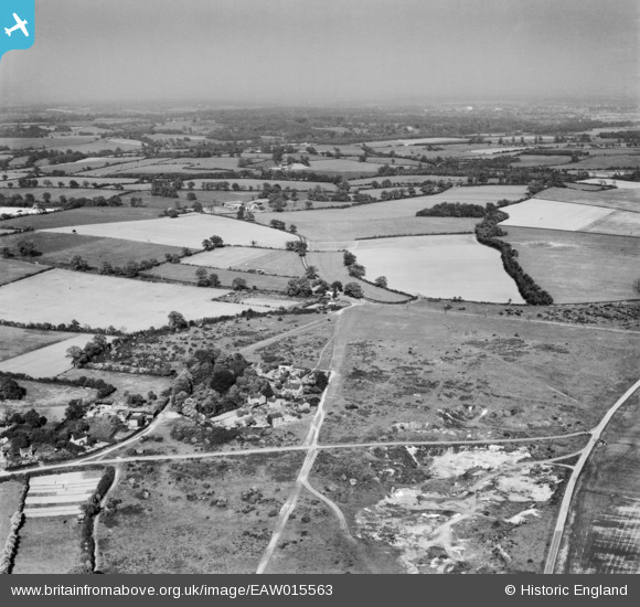
EAW015563 ENGLAND (1948). Nomansland Common and the surrounding countryside, Nomansland, from the west, 1948
© Hawlfraint cyfranwyr OpenStreetMap a thrwyddedwyd gan yr OpenStreetMap Foundation. 2024. Trwyddedir y gartograffeg fel CC BY-SA.
Delweddau cyfagos (3)
EAW015563

EAW015562

EAW003633

Manylion
| Pennawd | [EAW015563] Nomansland Common and the surrounding countryside, Nomansland, from the west, 1948 |
| Cyfeirnod | EAW015563 |
| Dyddiad | 13-May-1948 |
| Dolen | |
| Enw lle | NOMANSLAND |
| Plwyf | WHEATHAMPSTEAD |
| Ardal | |
| Gwlad | ENGLAND |
| Dwyreiniad / Gogleddiad | 517151, 212589 |
| Hydred / Lledred | -0.30088562930007, 51.79921120136 |
| Cyfeirnod Grid Cenedlaethol | TL172126 |
