
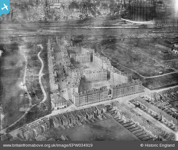
EPW034919 ENGLAND (1931). The Sutton Estate, North Kensington, 1931
© Hawlfraint cyfranwyr OpenStreetMap a thrwyddedwyd gan yr OpenStreetMap Foundation. 2024. Trwyddedir y gartograffeg fel CC BY-SA.
Delweddau cyfagos (19)
EPW034919

EPW034921

EPW034918

EPW034923

EPW034917

EPW034925

EPW034959

EPW034962

EPW034922

EPW034961

EPW034963

EPW034960

EPW034924

EPW034926

EPW034920

EPW056995

EPW045430

EPW056835

EPW056996

Manylion
| Pennawd | [EPW034919] The Sutton Estate, North Kensington, 1931 |
| Cyfeirnod | EPW034919 |
| Dyddiad | March-1931 |
| Dolen | |
| Enw lle | NORTH KENSINGTON |
| Plwyf | |
| Ardal | |
| Gwlad | ENGLAND |
| Dwyreiniad / Gogleddiad | 523191, 181953 |
| Hydred / Lledred | -0.22412816739507, 51.522559432981 |
| Cyfeirnod Grid Cenedlaethol | TQ232820 |
Pinnau
 Class31 |
Friday 29th of March 2013 09:45:30 AM | |
Class31 |
Friday 29th of March 2013 09:36:37 AM | |
Class31 |
Friday 29th of March 2013 07:54:58 AM | |
Class31 |
Thursday 28th of March 2013 11:37:34 PM | |
Class31 |
Thursday 28th of March 2013 11:26:24 PM | |
Class31 |
Thursday 28th of March 2013 11:16:15 PM | |
Class31 |
Thursday 28th of March 2013 11:08:11 PM | |
Class31 |
Thursday 28th of March 2013 10:56:25 PM |