
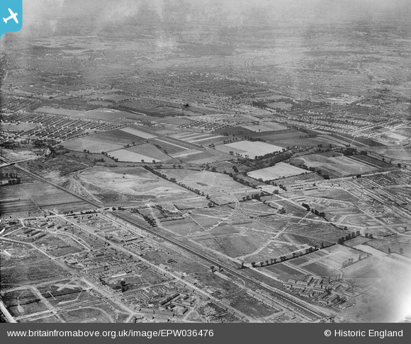
EPW036476 ENGLAND (1931). The site of Mayesbrook Park and adjacent housing estates under construction, Barking, 1931
© Hawlfraint cyfranwyr OpenStreetMap a thrwyddedwyd gan yr OpenStreetMap Foundation. 2024. Trwyddedir y gartograffeg fel CC BY-SA.
Delweddau cyfagos (2)
EPW036476

EPW006553

Manylion
| Pennawd | [EPW036476] The site of Mayesbrook Park and adjacent housing estates under construction, Barking, 1931 |
| Cyfeirnod | EPW036476 |
| Dyddiad | August-1931 |
| Dolen | |
| Enw lle | BARKING |
| Plwyf | |
| Ardal | |
| Gwlad | ENGLAND |
| Dwyreiniad / Gogleddiad | 546187, 184983 |
| Hydred / Lledred | 0.10840866016376, 51.544303706641 |
| Cyfeirnod Grid Cenedlaethol | TQ462850 |
