EPW059937 ENGLAND (1938). The Chiswick and Acton Works and environs, Gunnersbury, from the south-east, 1938

© Hawlfraint cyfranwyr OpenStreetMap a thrwyddedwyd gan yr OpenStreetMap Foundation. 2024. Trwyddedir y gartograffeg fel CC BY-SA.
Delweddau cyfagos (2)
EPW059937

EPW024934
 Works, Gunnersbury, from the south-east, 1928")
Manylion
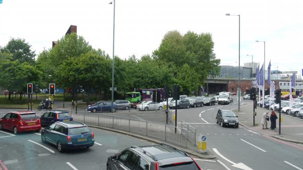
| Pennawd | [EPW059937] The Chiswick and Acton Works and environs, Gunnersbury, from the south-east, 1938 |
| Cyfeirnod | EPW059937 |
| Dyddiad | 15-October-1938 |
| Dolen | |
| Enw lle | GUNNERSBURY |
| Plwyf | |
| Ardal | |
| Gwlad | ENGLAND |
| Dwyreiniad / Gogleddiad | 520157, 178243 |
| Hydred / Lledred | -0.26910765084645, 51.489866280279 |
| Cyfeirnod Grid Cenedlaethol | TQ202782 |
Pinnau
 martinmj |
Monday 31st of July 2023 09:27:28 PM | |
Leslie B |
Thursday 15th of July 2021 10:52:41 AM | |
Karhedron |
Friday 12th of March 2021 04:45:08 PM | |
The Laird |
Tuesday 1st of December 2020 03:44:36 PM | |
Leslie B |
Wednesday 9th of January 2019 10:56:34 AM | |
 |
 Class31 |
Thursday 23rd of July 2015 02:36:19 PM |
Class31 |
Tuesday 26th of May 2015 07:14:05 PM | |
Class31 |
Tuesday 26th of May 2015 07:12:14 PM | |
Paul |
Thursday 13th of June 2013 08:33:22 PM |