
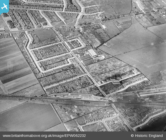
EPW062232 ENGLAND (1939). New North Road and environs, Fairlop, 1939
© Hawlfraint cyfranwyr OpenStreetMap a thrwyddedwyd gan yr OpenStreetMap Foundation. 2024. Trwyddedir y gartograffeg fel CC BY-SA.
Delweddau cyfagos (5)
EPW062232

EPW062234

EPW062242

EPW062233

EPW062241

Manylion
| Pennawd | [EPW062232] New North Road and environs, Fairlop, 1939 |
| Cyfeirnod | EPW062232 |
| Dyddiad | 25-July-1939 |
| Dolen | |
| Enw lle | FAIRLOP |
| Plwyf | |
| Ardal | |
| Gwlad | ENGLAND |
| Dwyreiniad / Gogleddiad | 544813, 191439 |
| Hydred / Lledred | 0.091267894359708, 51.60267424295 |
| Cyfeirnod Grid Cenedlaethol | TQ448914 |
Pinnau
 Jenny Karling |
Friday 29th of May 2015 06:53:50 PM | |
brian |
Monday 8th of December 2014 01:21:34 PM | |
 Maurice |
Thursday 5th of September 2013 10:44:39 PM | |
Jenny Karling |
Thursday 5th of September 2013 07:18:39 PM |