
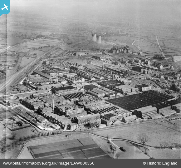
EAW000356 ENGLAND (1946). Courtaulds Silk Factory and environs, Spondon, 1946
© Copyright OpenStreetMap contributors and licensed by the OpenStreetMap Foundation. 2024. Cartography is licensed as CC BY-SA.
Nearby Images (26)
EAW000356

EAW000919

EAW000914

EAW000357

EAW000921

EAW000363

EAW000364

EAW002818

EPW018035

EAW000362

EAW000920

EPW018034

EAW000361

EPW018039

EPW018038

EAW000359

EPW018037

EAW000913

EAW000915

EAW000367

EAW000923

EPW018036

EAW000366

EAW002822

EAW000917

EAW000916

Details
| Title | [EAW000356] Courtaulds Silk Factory and environs, Spondon, 1946 |
| Reference | EAW000356 |
| Date | 16-April-1946 |
| Link | |
| Place name | SPONDON |
| Parish | |
| District | |
| Country | ENGLAND |
| Easting / Northing | 439828, 334793 |
| Longitude / Latitude | -1.4077175507089, 52.90877062233 |
| National Grid Reference | SK398348 |
