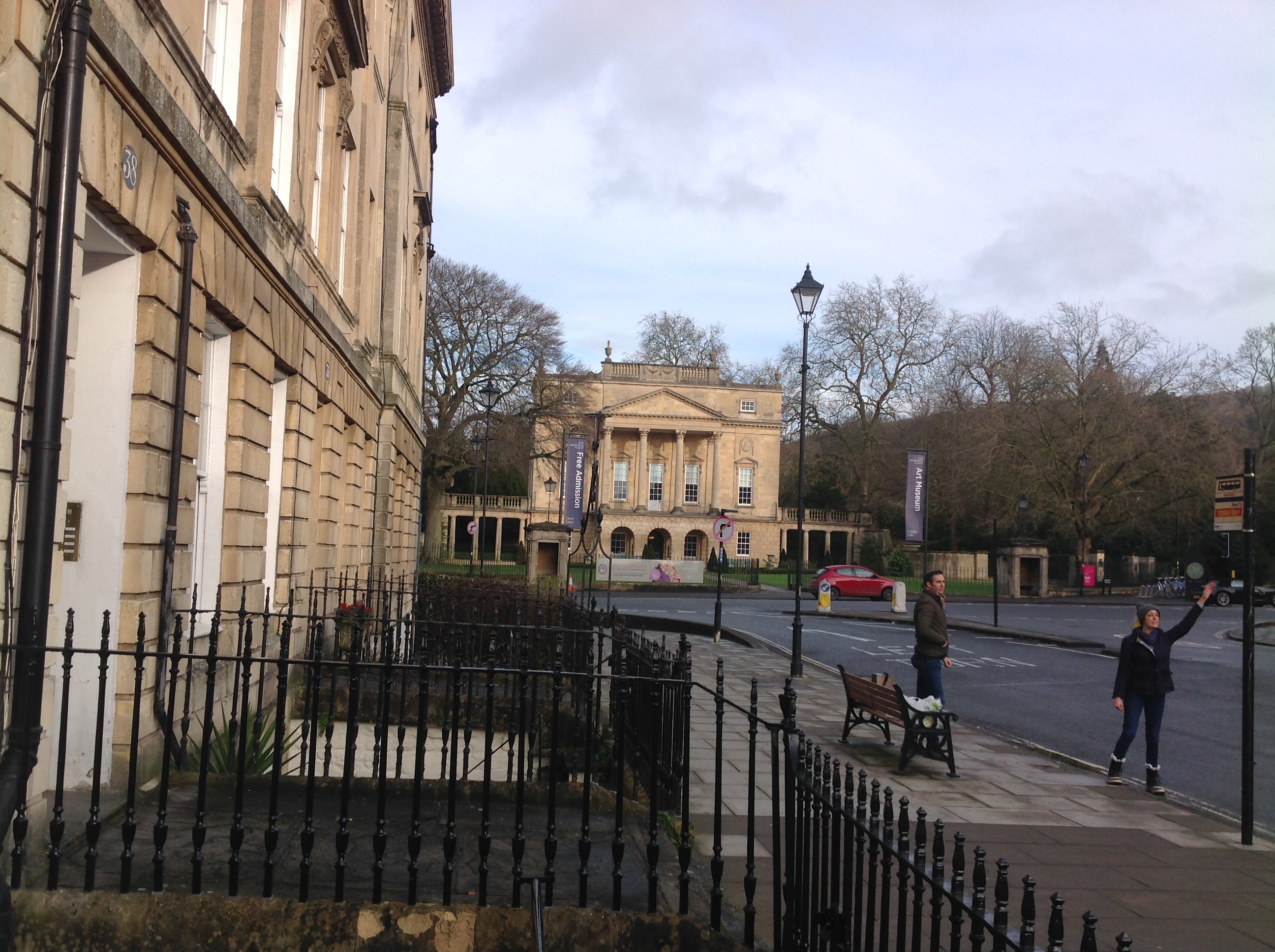
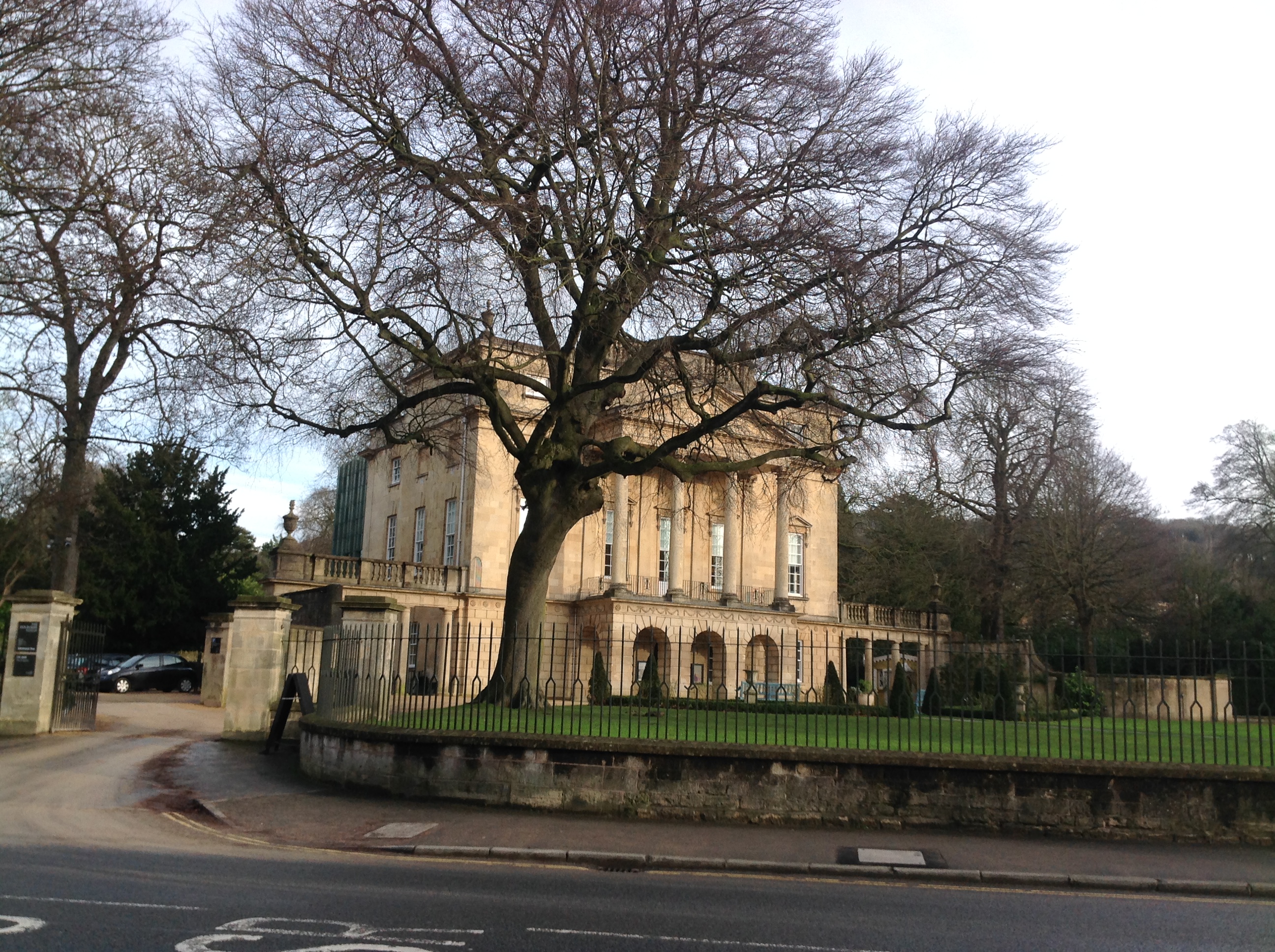
EAW000753 ENGLAND (1946). Laura Place, Henrietta Park and Great Pulteney Street, Bath, 1946

© Copyright OpenStreetMap contributors and licensed by the OpenStreetMap Foundation. 2024. Cartography is licensed as CC BY-SA.
Nearby Images (17)
EAW000753

EAW000750

EAW026451

EAW000752

EAW000751

EAW049900

EPW048377

EPW001954

EAW049901

EAW049899

EPW048402

EPW053136

EPW053132

EAW049898

EPW053131

EPW053135

EPW001950

Details
| Title | [EAW000753] Laura Place, Henrietta Park and Great Pulteney Street, Bath, 1946 |
| Reference | EAW000753 |
| Date | 9-May-1946 |
| Link | |
| Place name | BATH |
| Parish | |
| District | |
| Country | ENGLAND |
| Easting / Northing | 375405, 165107 |
| Longitude / Latitude | -2.3534675206341, 51.383979410652 |
| National Grid Reference | ST754651 |
Pins
 MB |
Wednesday 18th of September 2013 10:10:55 AM | |
MB |
Wednesday 18th of September 2013 10:09:42 AM | |
MB |
Wednesday 18th of September 2013 10:08:27 AM | |
MB |
Wednesday 18th of September 2013 10:07:22 AM | |
MB |
Wednesday 18th of September 2013 10:06:53 AM | |
MB |
Wednesday 18th of September 2013 10:06:29 AM |