
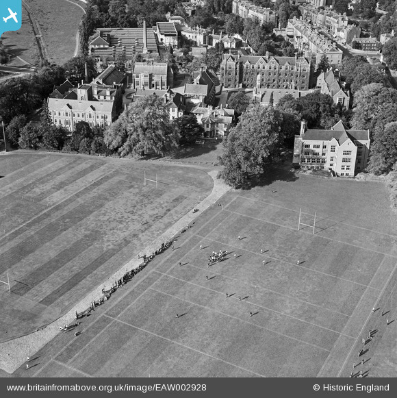
EAW002928 ENGLAND (1946). A rugby match being played on Leys School Sports Ground, Cambridge, 1946
© Copyright OpenStreetMap contributors and licensed by the OpenStreetMap Foundation. 2024. Cartography is licensed as CC BY-SA.
Nearby Images (4)
EAW002928

EPW025480

EAW011254

EPW000052

Details
| Title | [EAW002928] A rugby match being played on Leys School Sports Ground, Cambridge, 1946 |
| Reference | EAW002928 |
| Date | 1-October-1946 |
| Link | |
| Place name | CAMBRIDGE |
| Parish | |
| District | |
| Country | ENGLAND |
| Easting / Northing | 545052, 257414 |
| Longitude / Latitude | 0.12248281154971, 52.195450952545 |
| National Grid Reference | TL451574 |
Pins
Be the first to add a comment to this image!