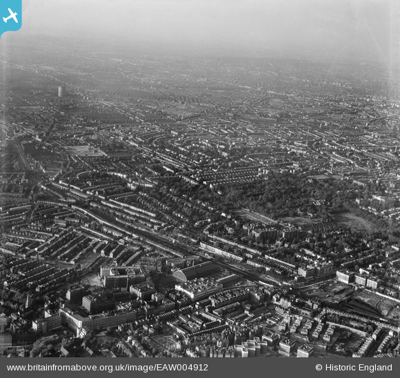
EAW004912 ENGLAND (1947). Holland Park and environs, Kensington, from the south-west, 1947
© Copyright OpenStreetMap contributors and licensed by the OpenStreetMap Foundation. 2024. Cartography is licensed as CC BY-SA.
Nearby Images (24)
EAW004912

EAW022040

EPW006523

EAW022042
 Station, Olympia, 1949")
EAW009112

EAW022039
 Station, Olympia, 1949")
EPW010196

EPW045413

EAW022041
 Station, Olympia, 1949")
EPW025092
 station and environs, West Kensington, 1928")
EPW006522

EAW022038
 Station, Olympia, 1949")
EPW010194

EPW010195

EPW025093
 station and environs, West Kensington, 1928")
EPW025090
 station and environs, West Kensington, 1928")
EPR000403

EPW025089

EPW024267

EPW059340

EPW025091

EAW022043
 Station, Olympia, 1949")
EAW018714

EPW010179

Details
| Title | [EAW004912] Holland Park and environs, Kensington, from the south-west, 1947 |
| Reference | EAW004912 |
| Date | April-1947 |
| Link | |
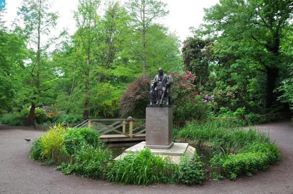
| Place name | KENSINGTON |
| Parish | |
| District | |
| Country | ENGLAND |
| Easting / Northing | 524393, 179203 |
| Longitude / Latitude | -0.20778010249215, 51.497578687988 |
| National Grid Reference | TQ244792 |
Pins
 Robin |
Sunday 23rd of June 2024 12:48:21 PM | |
Karhedron |
Tuesday 5th of April 2022 06:49:32 AM | |
brianbeckett |
Tuesday 14th of October 2014 11:27:46 PM | |
 Alan McFaden |
Monday 19th of May 2014 10:16:46 AM |