
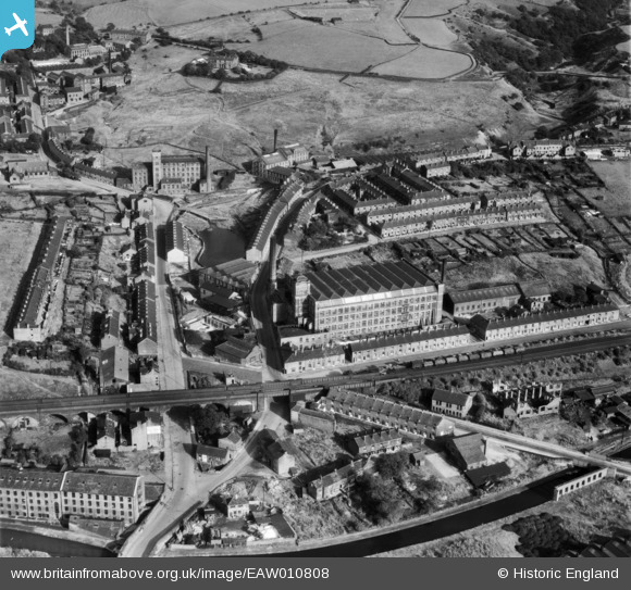
EAW010808 ENGLAND (1947). Brunswick Mill and environs, Mossley, 1947
© Copyright OpenStreetMap contributors and licensed by the OpenStreetMap Foundation. 2024. Cartography is licensed as CC BY-SA.
Nearby Images (10)
EAW010808

EAW010801

EAW010802

EAW010805

EAW010806

EAW010803

EAW010804

EAW010807

EAW010800

EPW016477

Details
| Title | [EAW010808] Brunswick Mill and environs, Mossley, 1947 |
| Reference | EAW010808 |
| Date | 17-September-1947 |
| Link | |
| Place name | MOSSLEY |
| Parish | MOSSLEY |
| District | |
| Country | ENGLAND |
| Easting / Northing | 397790, 401897 |
| Longitude / Latitude | -2.03333079814, 53.513500322177 |
| National Grid Reference | SD978019 |
Pins
 jams39 |
Monday 15th of November 2021 01:40:53 PM |