
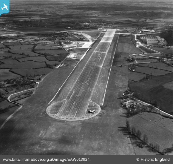
EAW013924 ENGLAND (1948). Bristol Filton Airport, Catbrain, 1948. This image has been produced from a print.
© Copyright OpenStreetMap contributors and licensed by the OpenStreetMap Foundation. 2024. Cartography is licensed as CC BY-SA.
Nearby Images (20)
EAW013924

EAW004178

EAW009954

EAW013925

EAW001550

EAW013923

EAW007133

EAW013926

EAW027772

EAW027782

EAW009949

EAW004179

EAW003556

EAW009956

EAW007144

EAW004183

EAW009957

EAW026942

EAW010657

EAW027784

Details
| Title | [EAW013924] Bristol Filton Airport, Catbrain, 1948. This image has been produced from a print. |
| Reference | EAW013924 |
| Date | 22-March-1948 |
| Link | |
| Place name | CATBRAIN |
| Parish | ALMONDSBURY |
| District | |
| Country | ENGLAND |
| Easting / Northing | 358297, 180238 |
| Longitude / Latitude | -2.6011081366175, 51.519039230113 |
| National Grid Reference | ST583802 |
Pins
Be the first to add a comment to this image!