
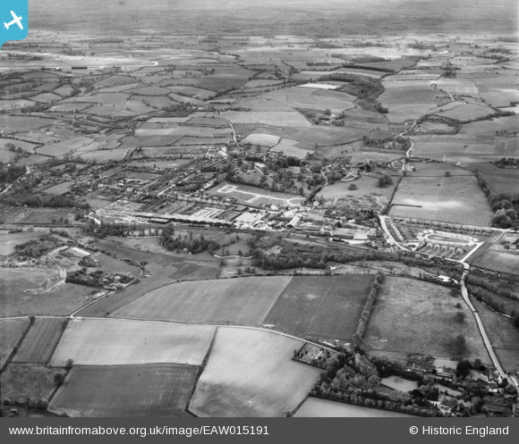
EAW015191 ENGLAND (1948). Sible Hedingham and surrounding countryside, Castle Hedingham, from the north-east, 1948
© Copyright OpenStreetMap contributors and licensed by the OpenStreetMap Foundation. 2024. Cartography is licensed as CC BY-SA.
Nearby Images (2)
EAW015191

EPW025965

Details
| Title | [EAW015191] Sible Hedingham and surrounding countryside, Castle Hedingham, from the north-east, 1948 |
| Reference | EAW015191 |
| Date | 5-May-1948 |
| Link | |
| Place name | CASTLE HEDINGHAM |
| Parish | CASTLE HEDINGHAM |
| District | |
| Country | ENGLAND |
| Easting / Northing | 578248, 234900 |
| Longitude / Latitude | 0.59596283514281, 51.983491194671 |
| National Grid Reference | TL782349 |
Pins
 Graham Yaxley |
Monday 26th of January 2015 05:08:37 PM |