
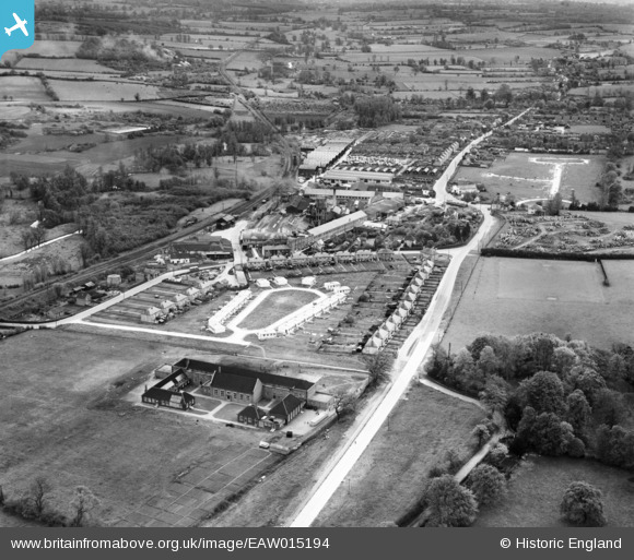
EAW015194 ENGLAND (1948). Christmas Field Estate and the village, Sible Hedingham, from the north-west, 1948
© Copyright OpenStreetMap contributors and licensed by the OpenStreetMap Foundation. 2024. Cartography is licensed as CC BY-SA.
Nearby Images (3)
EAW015194

EAW015193

EAW015195

Details
| Title | [EAW015194] Christmas Field Estate and the village, Sible Hedingham, from the north-west, 1948 |
| Reference | EAW015194 |
| Date | 5-May-1948 |
| Link | |
| Place name | SIBLE HEDINGHAM |
| Parish | SIBLE HEDINGHAM |
| District | |
| Country | ENGLAND |
| Easting / Northing | 577840, 234936 |
| Longitude / Latitude | 0.59004605162754, 51.983945326077 |
| National Grid Reference | TL778349 |
Pins
Be the first to add a comment to this image!