
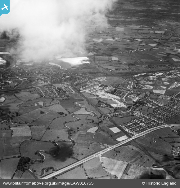
EAW016755 ENGLAND (1948). The River Dane looking towards the town centre, Northwich, from the south, 1948
© Copyright OpenStreetMap contributors and licensed by the OpenStreetMap Foundation. 2024. Cartography is licensed as CC BY-SA.
Nearby Images (2)
EAW016755

EAW023495

Details
| Title | [EAW016755] The River Dane looking towards the town centre, Northwich, from the south, 1948 |
| Reference | EAW016755 |
| Date | 23-June-1948 |
| Link | |
| Place name | NORTHWICH |
| Parish | NORTHWICH |
| District | |
| Country | ENGLAND |
| Easting / Northing | 367073, 372686 |
| Longitude / Latitude | -2.4935427666579, 53.249887083826 |
| National Grid Reference | SJ671727 |
Pins
 Bertmedia |
Friday 24th of March 2023 12:23:26 PM | |
Bertmedia |
Friday 24th of March 2023 12:16:30 PM | |
Bertmedia |
Friday 24th of March 2023 12:15:25 PM | |
Bertmedia |
Friday 24th of March 2023 12:14:14 PM | |
Bertmedia |
Friday 24th of March 2023 12:09:24 PM | |
Bertmedia |
Friday 24th of March 2023 12:05:12 PM | |
Bertmedia |
Friday 24th of March 2023 12:03:56 PM | |
Bertmedia |
Friday 24th of March 2023 12:02:49 PM | |
Bertmedia |
Friday 24th of March 2023 12:02:49 PM | |
slam13 |
Wednesday 22nd of October 2014 11:32:59 PM | |
slam13 |
Wednesday 22nd of October 2014 11:29:51 PM | |
slam13 |
Wednesday 22nd of October 2014 11:27:51 PM |