
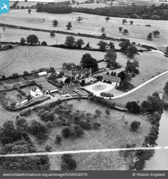
EAW018076 ENGLAND (1948). Hanchurch Manor, Hanchurch, 1948. This image has been produced from a print marked by Aerofilms Ltd for photo editing.
© Copyright OpenStreetMap contributors and licensed by the OpenStreetMap Foundation. 2024. Cartography is licensed as CC BY-SA.
Nearby Images (4)
EAW018076

EAW018077

EAW018075

EAW018078

Details
| Title | [EAW018076] Hanchurch Manor, Hanchurch, 1948. This image has been produced from a print marked by Aerofilms Ltd for photo editing. |
| Reference | EAW018076 |
| Date | 10-August-1948 |
| Link | |
| Place name | HANCHURCH |
| Parish | SWYNNERTON |
| District | |
| Country | ENGLAND |
| Easting / Northing | 385046, 341033 |
| Longitude / Latitude | -2.2226743930377, 52.966137917431 |
| National Grid Reference | SJ850410 |
Pins
 SH |
Thursday 16th of June 2022 08:58:42 PM |