
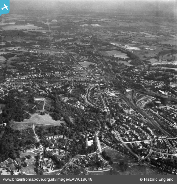
EAW018648 ENGLAND (1948). The town, Redhill, from the south-west, 1948. This image has been produced from a print.
© Copyright OpenStreetMap contributors and licensed by the OpenStreetMap Foundation. 2024. Cartography is licensed as CC BY-SA.
Nearby Images (2)
EAW018648

EPW011444

Details
| Title | [EAW018648] The town, Redhill, from the south-west, 1948. This image has been produced from a print. |
| Reference | EAW018648 |
| Date | 9-September-1948 |
| Link | |
| Place name | REDHILL |
| Parish | |
| District | |
| Country | ENGLAND |
| Easting / Northing | 527500, 149483 |
| Longitude / Latitude | -0.17369874158038, 51.229759461483 |
| National Grid Reference | TQ275495 |
Pins
Be the first to add a comment to this image!